Easy day hikes near Almaty: eight trails with no gear needed
The Butakovka waterfalls, Moon Meadow, the Mynzhylky dam, Kok-Zhailau and the Talgar Pass: day routes you can reach by bus or taxi, with times, difficulty and advice.
By Super Admin2 min read
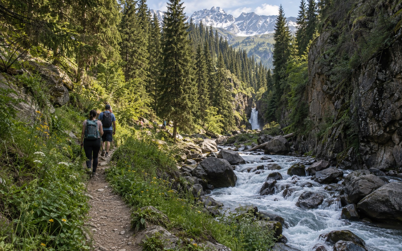
The mountains at Almaty begin at the bus terminus, and most of the beautiful places can be reached in a day without a tent or experience. Below are eight routes from our catalogue, from an hour's stroll to a full day, with honest difficulty ratings.
Butakovka: waterfalls next to the city
The Butakovka gorge is the closest option, 20 minutes by taxi from Medeu. The trail to the Butakovka waterfall is two and a half hours there and back along the river and suits children; the short version to the lower waterfall takes two hours. For more, the crossing from Butakovka to Medeu over the pass takes four hours and ends at the gondola.
Bolshaya Almatinka: walks from the Alpine Rose
In the Bolshaya Almatinka gorge short trails fan out from the Alpine Rose hotel: Moon Meadow in an hour, the Shukur waterfall in three. Both are easy, both have views of the ridge, and the Ayusai visitor centre on the way has a trail map and a cafe.
From Shymbulak
Take the gondola up from Medeu and follow the route to the Mynzhylky dam: four hours up the Tuyuk-Su valley with no steep climbing, glaciers all around. It is cool up there even in summer, so bring a windbreaker.
Kok-Zhailau
Kok-Zhailau is an alpine meadow between two gorges at about 1,700 m and the emblem of city hiking. The route from the eco-post takes four hours with a real climb and is rated moderate. Poppies bloom in May; in October the slopes turn gold.
The Talgar Pass on foot
For those up for a full day, route NTA-110: from Medeu via Shymbulak to the pass at 3,200 m, eight hours with the cable car down. Moderate difficulty, but the altitude tells: walk slowly and drink water.
Rules
- Start in the morning; thunderstorms gather in the mountains after lunch.
- A litre of water per person, sunscreen and a cap, shoes with grip.
- Carry your passport: some trails cross the border zone and the national park.
- Tell someone where you are going; there is no signal everywhere.
All routes with maps are in the Trails section.