Getting around Almaty: metro, buses, taxis and reaching the mountains
How to move around Almaty: the single metro line, buses paid by card or phone, ride-hailing apps, scooters, the airport run and the road to the mountains. What works for a visitor and what does not.
By Super Admin2 min read
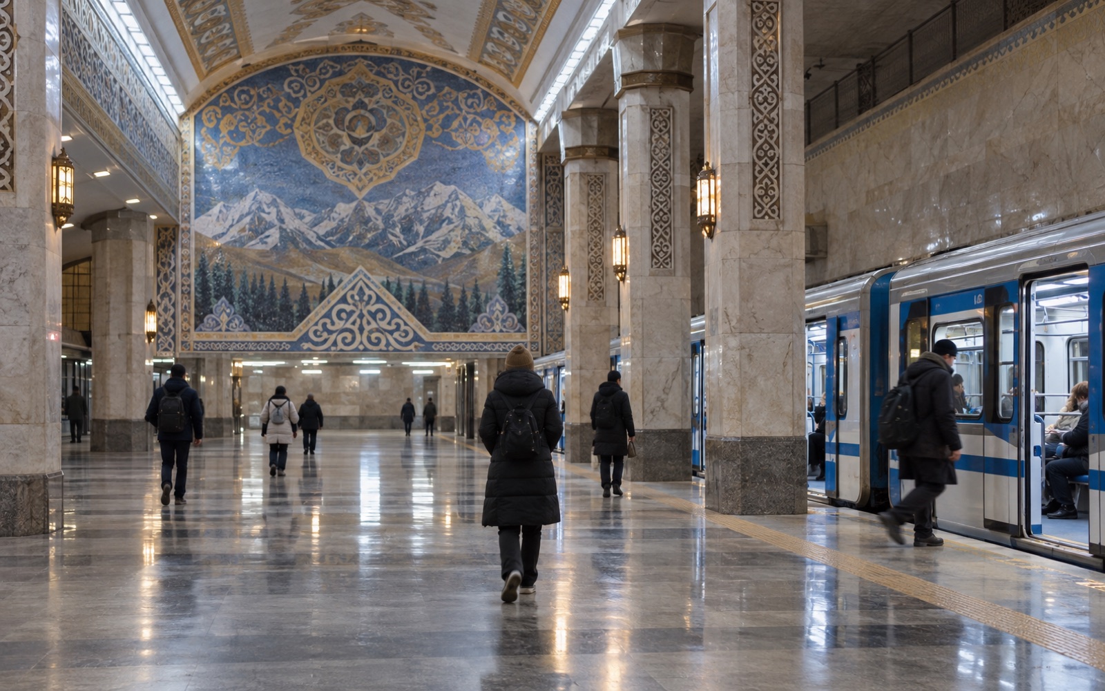
Almaty is a city where walking the centre is pleasant and a bus goes to the mountains. Here is how it all works and what a visitor should use.
Metro
Almaty has one metro line, about a dozen stations from north to south-west, with handsome mosaic halls and air conditioning in summer. The central stations are the useful ones for visitors: Almaly, Abay, Baikonur. The metro does not go to the mountains; for the centre it beats a taxi at rush hour.
Buses and trolleybuses
The network is large and daytime intervals are short. Pay with a transport card or through the app; drivers do not take cash. Cards are sold at kiosks by major stops and in the metro and can be topped up at terminals or online. The route a visitor needs most is bus no. 12 from Dostyk Avenue to Medeu.
Routes and stops are on our rides page, which also plans a trip from point to point.
Taxis
Taxis are ordered through ride-hailing apps; the fare is shown up front and you pay by card or cash. From the centre to Medeu takes 20–30 minutes, to the airport half an hour without traffic. Nobody hails cars in the street. At rush hour (8–10 and 18–20) the centre grinds to a halt, so allow double the time.
Scooters and bikes
Shared scooters and bikes stand all over the centre and unlock with an app. The city is on a slope: downhill to the north rides itself, the way back is hard work. Bike lanes run along the main avenues.
From the airport
The airport is 15 km north-east of the centre. A taxi through an app is easiest (half an hour); city buses run too, but with luggage they are slow. Currency exchange and SIM cards are in the arrivals hall; see our practical tips.